GIS and Computational Notebooks
I have a new chapter “GIS and Computational Notebooks,” co-authored with Dani Arribas-Bel, out now in The Geographic Information Science & Technology Body of Knowledge. Want to make your spatial analyses more reproducible, portable, and well-documented? Our chapter is a short, gentle intro to using code and notebooks for modern GIS work.
Science and analytics both struggle with reproducibility, documentation, and portability. But GIS in both research and practice particularly suffers from these problems due to some of its unique characteristics. Our chapter discusses this challenge and its urgency for building better and more actionable knowledge from geospatial data. Then we introduce an emerging solution, the computational notebook, using Jupyter as our central example to illustrate what it does and how it works.
Notebooks offer GIS researchers and practitioners better integration with modern software, more natural access to new forms of data, and better alignment with the principles and benefits of open science. Compared to traditional desktop GIS, notebooks can make spatial analysis more nimble, extensible, and reproducible. They are the “glue” that binds together a broader ecosystem of open-source packages and transferable platforms (e.g., Docker) for modern geographic data science.
Takeaway: do your analytics in a notebook, use open-source tools, and containerize your environment. Once you get the hang of it, you’ll never want to go back to ye olde closed-source point-and-click GUIs of yore.
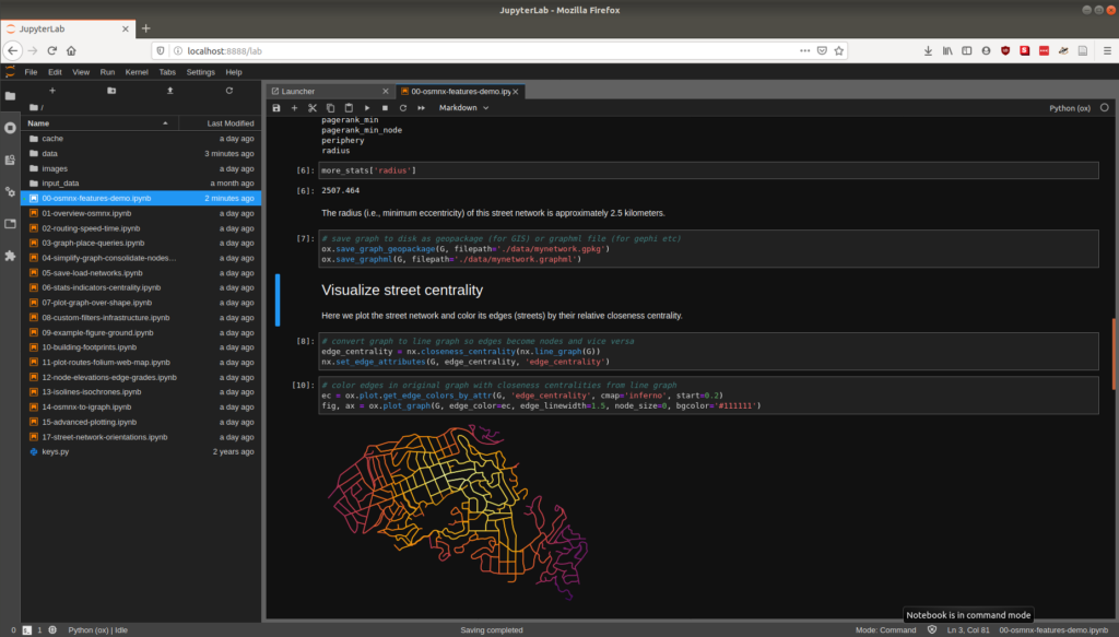
For more, check out the chapter itself. To see examples of notebooks in action for geospatial analytics, check out the OSMnx examples repo or my Advanced Urban Analytics course lecture materials.
Here’s the chapter abstract:
Researchers and practitioners across many disciplines have recently adopted computational notebooks to develop, document, and share their scientific workflows—and the GIS community is no exception. This chapter introduces computational notebooks in the geographical context. It begins by explaining the computational paradigm and philosophy that underlie notebooks. Next it unpacks their architecture to illustrate a notebook user’s typical workflow. Then it discusses the main benefits notebooks offer GIS researchers and practitioners, including better integration with modern software, more natural access to new forms of data, and better alignment with the principles and benefits of open science. In this context, it identifies notebooks as the glue that binds together a broader ecosystem of open source packages and transferable platforms for computational geography. The chapter concludes with a brief illustration of using notebooks for a set of basic GIS operations. Compared to traditional desktop GIS, notebooks can make spatial analysis more nimble, extensible, and reproducible and have thus evolved into an important component of the geospatial science toolkit.