My article “Housing Search in the Age of Big Data: Smarter Cities or the Same Old Blind Spots?” with Max Besbris, Ariela Schachter, and John Kuk is now published in Housing Policy Debate. We look at the quantity and quality of information in online housing listings and find that they are much higher in White and non-poor neighborhoods than they are in poor, Black, or Latino neighborhoods. Listings in White neighborhoods include more descriptive text and focus on unit and neighborhood amenities, while listings in Black neighborhoods focus more on applicant (dis)qualifications. We discuss what this means for housing markets, filter bubbles, residential sorting and segregation, and housing policy. You can download a free PDF.
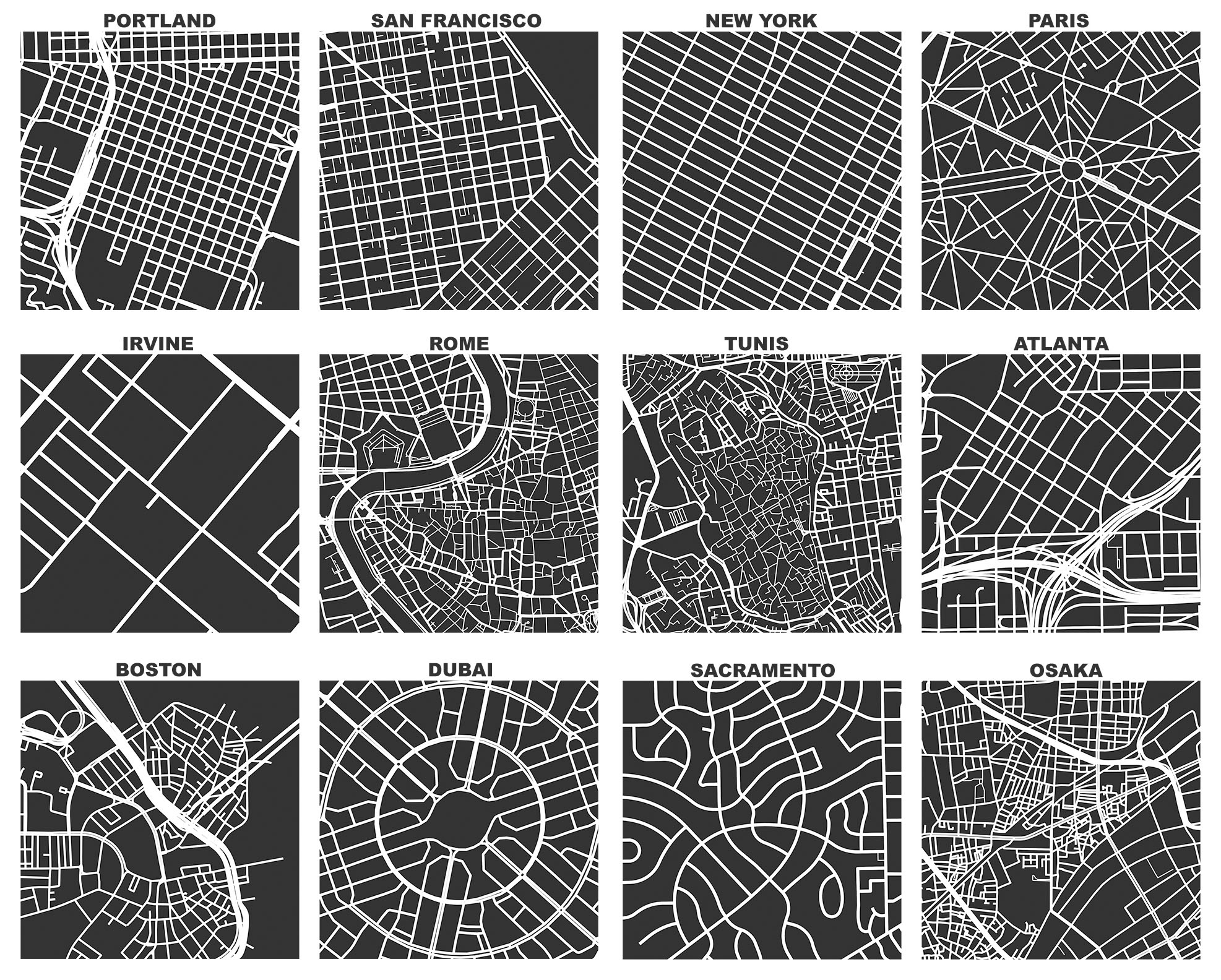
Housing search technologies are changing and, as a result, so are housing search behaviors. The most recent American Housing Survey revealed that, for the first time, more urban renters found their current homes through online technology platforms than any other information channel. These technology platforms collect and disseminate user-generated content and construct a virtual agora for users to share information with one another. Because they can provide real-time data about various urban phenomena, housing technology platforms are a key component of the smart cities paradigm.
This paradigm promotes information technology as both a technocratic mode of monitoring cities and a utopian mode of improving urban life through big data. In this context, “big data” typically refers to massive streams of user-generated content resulting from millions or billions of decentralized human actions. Data exhaust from Craigslist and other housing technology platforms offers a good example: optimistically, large corpora of rental listings could provide housing researchers and practitioners with actionable insights for policymaking while also equalizing access to information for otherwise disadvantaged homeseekers. But how good are these platforms at resolving the types of problems that already plague old-fashioned, non-big data? Does this broadcasting of information reduce longstanding geographic and demographic inequalities or do established patterns of segmentation and sorting remain?