Categories
Data

GIS and Computational Notebooks

I have a new chapter “GIS and Computational Notebooks,” co-authored with Dani Arribas-Bel, out now in The Geographic Information Science & Technology Body of Knowledge. Want to make your spatial analyses more reproducible, portable, and well-documented? Our chapter is a short, gentle intro to using code and notebooks for modern GIS work.

Science and analytics both struggle with reproducibility, documentation, and portability. But GIS in both research and practice particularly suffers from these problems due to some of its unique characteristics. Our chapter discusses this challenge and its urgency for building better and more actionable knowledge from geospatial data. Then we introduce an emerging solution, the computational notebook, using Jupyter as our central example to illustrate what it does and how it works.
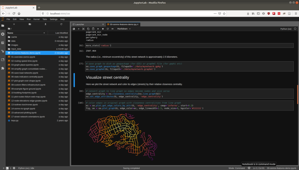
Jupyter notebook JupyterLab user interface

Categories
Urban

Big Data in Urban Morphology

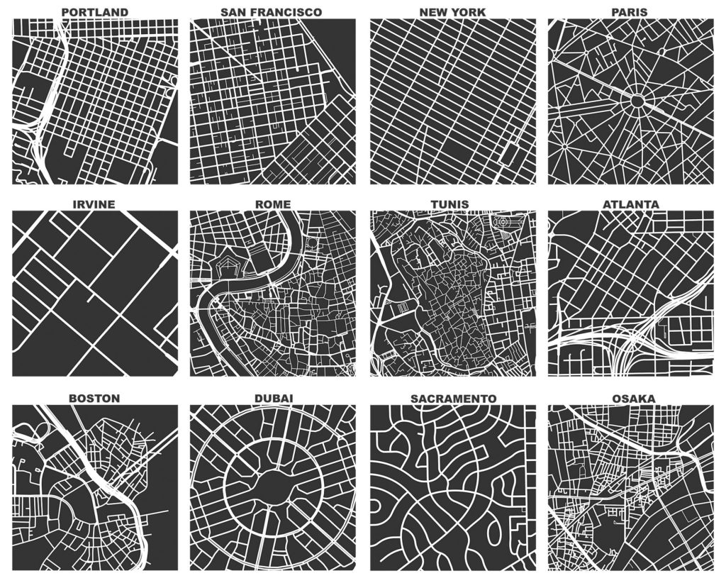
My new article “Spatial Information and the Legibility of Urban Form: Big Data in Urban Morphology” has been published in the International Journal of Information Management (download free PDF). It builds on recent work by Crooks et al, presenting workflows to integrate data-driven and narrative approaches to urban morphology in today’s era of ubiquitous urban big data. It situates this theoretically in the visual culture of planning to present a visualization-mediated interpretative process of data-driven urban morphology, focusing on transportation infrastructure via OSMnx.

OSMnx: Figure-ground diagrams of one square mile of each street network, from OpenStreetMap, made in Python with matplotlib, geopandas, and NetworkX