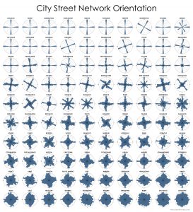
 This post is adapted from this research paper that you can read/cite for more info. It analyzes and visualizes 100 cities around the world.
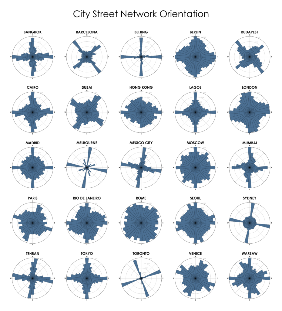
By popular request, this is a quick follow-up to this post comparing the orientation of streets in 25 US cities using Python and OSMnx. Here are 25 more cities around the world:
