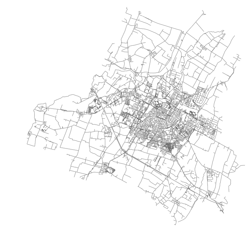
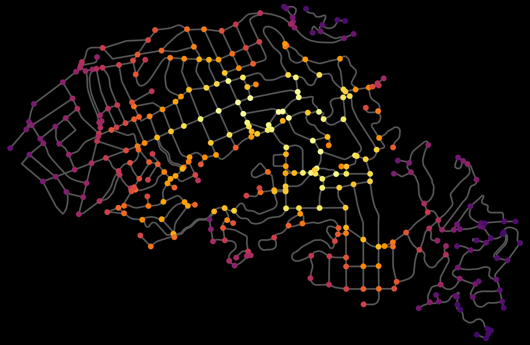
Categories
Data

US Street Network Models and Measures

My new article, “Street Network Models and Measures for Every U.S. City, County, Urbanized Area, Census Tract, and Zillow-Defined Neighborhood” has been published in Urban Science. This paper reports results from a broader project that collected raw street network data from OpenStreetMap using the Python-based OSMnx software for every U.S. city and town, county, urbanized area, census tract, and Zillow-defined neighborhood boundary. It constructed nonplanar directed multigraphs for each and analyzed their structural and morphological characteristics.

The resulting public data repository contains over 110,000 processed, cleaned street network graphs (which in turn comprise over 55 million nodes and over 137 million edges) at various scales—comprehensively covering the entire U.S.—archived as reusable open-source GraphML files, node/edge lists, and ESRI shapefiles that can be immediately loaded and analyzed in standard tools such as ArcGIS, QGIS, NetworkX, graph-tool, igraph, or Gephi.

Categories
Planning

New Chapter: Street Network Morphology

My chapter The Morphology and Circuity of Walkable and Drivable Street Networks is now in-press for publication in the forthcoming book The Mathematics of Urban Morphology (download free PDF). The book integrates recent theoretical and empirical work from urban planning, geography, sociology, architecture, economics, and mathematics around the theme of how we model and understand the urban form’s physical patterns and shaping processes. Fellow authors in this volume include Michael Batty, Diane Davis, Keith Clarke, Bin Jiang, Kay Axhausen, Carlo Ratti, and Stephen Marshall. The book itself can be purchased here.

Categories
Data

Urban Street Network Centrality

Check out the journal article about OSMnx.

We can measure and visualize how “important” a node or an edge is in a network by calculating its centrality. Lots of flavors of centrality exist in network science, including closeness, betweenness, degree, eigenvector, and PageRank. Closeness centrality measures the average shortest path between each node in the network and every other node: more central nodes are closer to all other nodes. We can calculate this easily with OSMnx, as seen in this GitHub demo. For example, here is the node closeness centrality for Piedmont, California:

Urban street network graph node closeness and betweenness centrality

Categories
Planning

OSMnx: Python for Street Networks

OSMnx: New York City urban street network visualized and analyzed with Python and OpenStreetMap dataIf you use OSMnx in your work, please cite the journal article.

OSMnx is a Python package to retrieve, model, analyze, and visualize street networks from OpenStreetMap. Users can download and model walkable, drivable, or bikeable urban networks with a single line of Python code, and then easily analyze and visualize them. You can just as easily download and work with amenities/points of interest, building footprints, elevation data, street bearings/orientations, and network routing. If you use OSMnx in your work, please download/cite the paper here.

In a single line of code, OSMnx lets you download, model, and visualize the street network for, say, Modena Italy:

import osmnx as ox
ox.plot_graph(ox.graph_from_place('Modena, Italy'))

OSMnx: Modena Italy networkx street network in Python from OpenStreetMap

Categories
Planning

Urban Complexity and the March Toward Qualifying Exams

The Department of City and Regional Planning at UC Berkeley has a rather arduous process for advancing to candidacy in the PhD program. It essentially consists of 6 parts:

  1. Take all the required courses
  2. Produce an inside field statement – a sort of literature review and synthesis explaining the niche within urban planning in which you will be positioning your dissertation research
  3. Complete an outside field – sort of like what a minor was in college
  4. Take an inside field written exam
  5. Produce a defensible dissertation prospectus
  6. Take an oral comprehensive exam covering your inside field, your outside field, general planning theory and history, and finally presenting your prospectus.

Whew. Lots to do this year. The good news is I am currently wrapping up my inside field statement and preparing to take the inside field exam. My topic is generally around complexity theory in urban planning. Here is the working abstract from my statement: