Categories
Data

Urban Analytics: History, Trajectory and Critique

I have a new chapter titled “Urban Analytics: History, Trajectory and Critique,” co-authored with Mike Batty, Shan Jiang, and Lisa Schweitzer, now published in the Handbook of Spatial Analysis in the Social Sciences, edited by Serge Rey and Rachel Franklin.

From our abstract:

Urban analytics combines spatial analysis, statistics, computer science, and urban planning to understand and shape city futures. While it promises better policymaking insights, concerns exist around its epistemological scope and impacts on privacy, ethics, and social control. This chapter reflects on the history and trajectory of urban analytics as a scholarly and professional discipline. In particular, it considers the direction in which this field is going and whether it improves our collective and individual welfare. It first introduces early theories, models, and deductive methods from which the field originated before shifting toward induction. It then explores urban network analytics that enrich traditional representations of spatial interaction and structure. Next it discusses urban applications of spatiotemporal big data and machine learning. Finally, it argues that privacy and ethical concerns are too often ignored as ubiquitous monitoring and analytics can empower social repression. It concludes with a call for a more critical urban analytics that recognizes its epistemological limits, emphasizes human dignity, and learns from and supports marginalized communities.

For more, check out the chapter.

Categories
Data

Network-Based Spatial Clustering

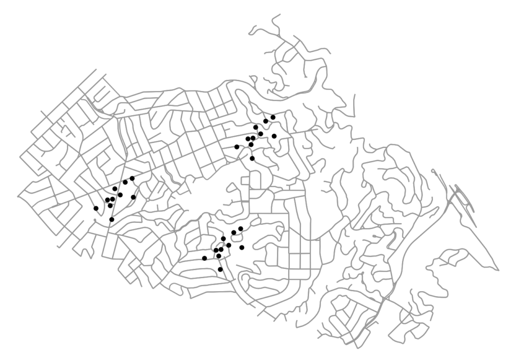
Jobs, establishments, and other amenities tend to agglomerate and cluster in cities. To identify these agglomerations and explore their causes and effects, we often use spatial clustering algorithms. However, urban space cannot simply be traversed as-the-crow-flies: human mobility is network-constrained. To properly model agglomeration along a city’s street network, we must use network-based spatial clustering.

The code for this example can be found in this GitHub repo. We use OSMnx to download and assemble the street network for a small city. We also have a dataframe of points representing the locations of (fake) restaurants in this city. Our restaurants cluster into distinct districts, as many establishments and industries tend to do:

firm locations on the street network to be clustered: python, osmnx, matplotlib, scipy, scikit-learn, geopandas

Categories
Tech

Describing Cities with Computer Vision

What does artificial intelligence see when it looks at your city? I recently created a Twitter bot in Python called CityDescriber that takes popular photos of cities from Reddit and describes them using Microsoft’s computer vision AI. The bot typically does pretty well with straightforward images of city skylines and street scenes:

Some are even kind of wryly poetic, such as this description of Los Angeles: