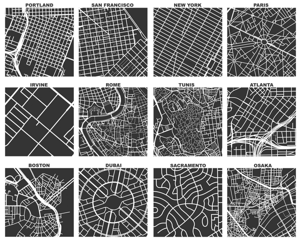
OSMnx version 2.0.0 has been released. This has been a massive effort over the past year to streamline the package’s API, re-think its internal organization, and optimize its code. Today OSMnx is faster, more memory efficient, and fully type-annotated for a better user experience.
If you haven’t used it before, OSMnx is a Python package to easily download, model, analyze, and visualize street networks and any other geospatial features from OpenStreetMap. You can download and model walking, driving, or biking networks with a single line of code then quickly analyze and visualize them. You can just as easily work with urban amenities/points of interest, building footprints, transit stops, elevation data, street orientations, speed/travel time, and routing. This has now been a labor of love for me for about 9 years. Wow. I initially developed this package to enable the empirical research for my dissertation. Since then, it has powered probably 2/3 of the articles I’ve published over the years. And it has received hundreds of contributions from many other code contributors. Thank you to everyone who helped make this possible.
I hope you find the package as useful as I do. Now I’m looking forward to all of your bug reports.